
PHOENIX, May 17, 2021 — The Babbitt Center for Land and Water Policy, a center of the Lincoln Institute of Land Policy, has released a comprehensive, peer-reviewed map of the Colorado River Basin that showcases the area’s geography and hydrography while addressing inconsistencies found among current maps of the region.
The map also includes a narrative history of the basin, and it highlights crucial concerns facing the region. It will provide an updated resource to stakeholders in the Colorado River Basin as they chart a sustainable path forward for the Colorado River, which supports over 40 million people across the United States and Mexico and irrigates 4.5 million acres of agriculture.
“This remarkable map reads like a three-act play,” said Bruce Babbitt, former Arizona governor, former secretary of the U.S. Department of Interior, and namesake of the Babbitt Center. “Climate sets the stage. The Colorado River flows through time, shaping the land and our lives. We are now entering the third act, using historical information to move toward a sustainable future.”
One of the most significant changes reflected on the map is the inclusion of the full extent of the Basin in Mexico. Many conventional maps end at the U.S.-Mexico border, a legacy of administrative and engineering decisions made by the U.S. government in the 20th century. The map corrects two other common misunderstandings: that the River always flows to the sea, and that certain parts of Mexico and Southern California were never part of the Basin.
“For too long, many people thought the Colorado River ended at the border,” said Paula Randolph, associate director of the Babbitt Center.
In the course of collaborating with partners throughout the Colorado River Basin, Randolph notes, the Babbitt Center observed that “experts on Colorado River Basin issues were bemoaning the arbitrary nature and perspective of existing maps. The Babbitt Center team reviewed the maps currently in circulation and chose to tackle those concerns.”
The Babbitt Center produced the map in partnership with the Lincoln Institute’s newly launched Center for Geospatial Solutions, which harnesses data to inform decision making related to land and water management.
The full-color, double-sided map highlights specific regions and issues of note in one of the fastest-growing areas in the United States. Features include:
- A physical and political map of the entire Colorado River Basin, including the location of the 30 federally recognized tribal nations in the basin; structures such as dams, reservoirs, transbasin diversions, and canals; protected areas; and indications of whether streams are perennial or intermittent.
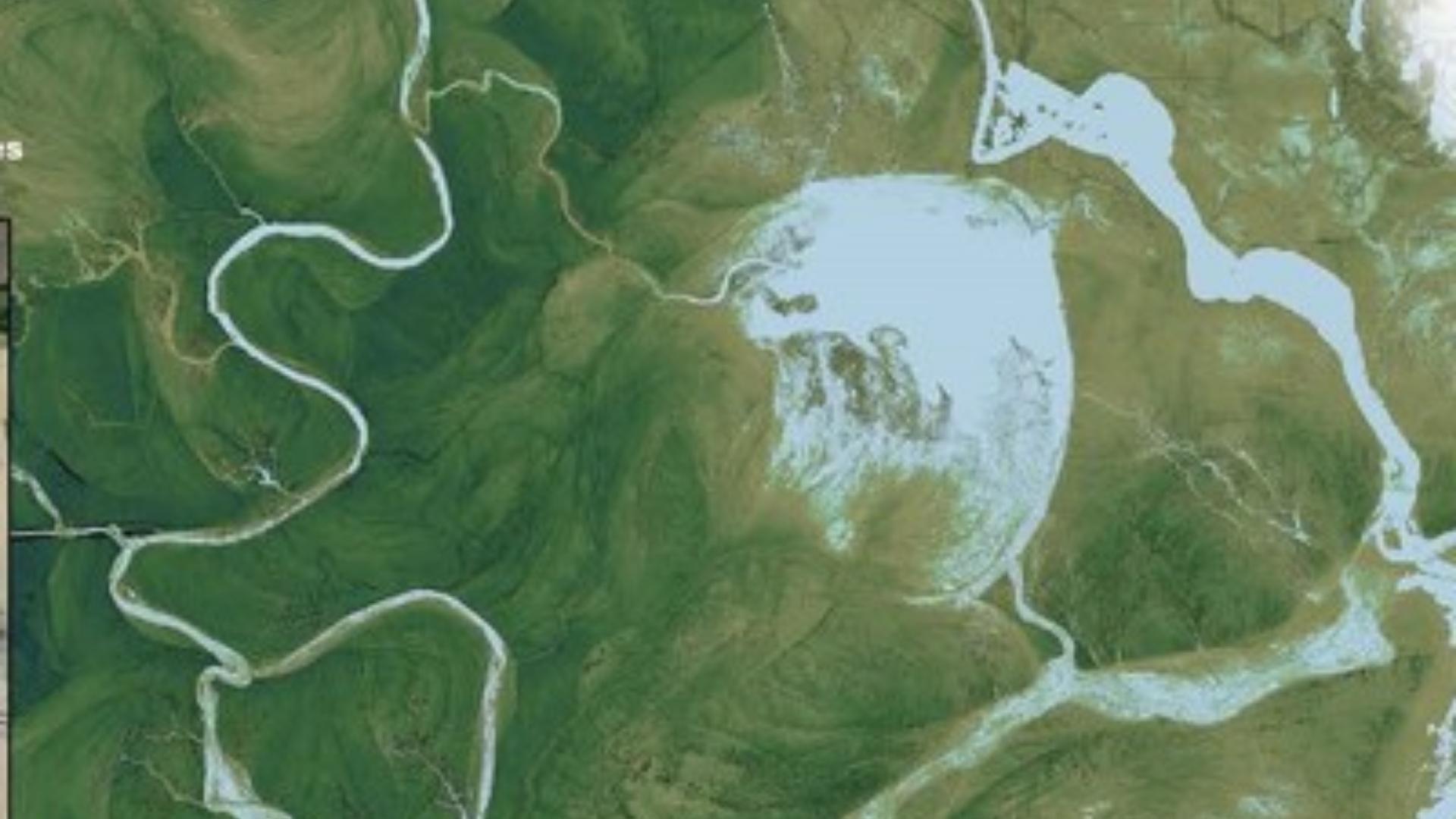
- Inset maps spotlighting wildfire risk, the Colorado River Delta in Mexico, the shrinking Salton Sea, and the relationship between urban development, irrigated agriculture, and water management in major cities.
- Stunning photographs of the Colorado River headwaters and Delta, Lake Powell, the Imperial Valley, and other significant landmarks of the region.
- Narrative explorations of key issues in the Colorado River Basin, including climate change, tribal water rights, wildfire, development, agriculture, and biodiversity.
- Historical information on the division of water among the U.S. states and Mexico and the drought contingency negotiations that have occurred during the first two decades of the 21st century as climate change threatens significant streamflow losses.
“Maps are powerful and often unacknowledged tools shaping our perceptions of the landscape,” said Michael Cohen, senior researcher at the Pacific Institute. “The Babbitt Center’s new Colorado River Basin map greatly improves our understanding of the iconic river that sustains the West and of the many dynamic elements at play.”
The Babbitt Center’s goal was to create a comprehensive map that honored the natural history of the Colorado River Basin while reflecting the human-altered systems that power it today.
“The question ‘Where is the Colorado River Basin?’ is a seemingly simple one without an easy answer,” Babbitt Center Senior Program Manager Zach Sugg said. “Because humans altered the course of the River so profoundly and quickly, many people might answer differently today than they would have a century ago. Even though there are places the river rarely, if ever flows today, to us they are still part of the Basin.”
The Babbitt Center will provide this freely available resource to support the ongoing discourse about the region’s future, Sugg said.
“We would love for this to become a widely used, gold standard map within the world of Colorado River Basin water management and the larger water management world as well.”
The map is available at no cost as a downloadable pdf, and as a hard copy.
About the Babbitt Center for Land and Water Policy
The Babbitt Center for Land and Water Policy seeks to advance the integration of land and water management to meet the current and future water needs of Colorado River Basin communities, economies, and the environment. The Babbitt Center, a center of the Lincoln Institute of Land Policy, promotes innovative land and water conservation practices and policies, catalyzes these solutions at the local level, and nurtures research into integrated land and water management.
About the Center for Geospatial Solutions
The Center for Geospatial Solutions provides people and organizations with tools to advance equitable solutions to social, economic, and environmental challenges. The center delivers geospatial data, conducts analysis, and performs specialized consulting services for organizations of all sizes in the nonprofit, public, and private sectors.
About the Lincoln Institute of Land Policy
The Lincoln Institute of Land Policy seeks to improve quality of life through the effective use, taxation, and stewardship of land. A nonprofit private operating foundation whose origins date to 1946, the Lincoln Institute researches and recommends creative approaches to land as a solution to economic, social, and environmental challenges. Through education, training, publications, and events, we integrate theory and practice to inform public policy decisions worldwide.
This article was shared with Prittle Prattle News as a Press Release by PRNewswire.


